



Surat: In the aftermath of the recent floods that ravaged the city, the Surat Municipal Corporation (SMC) has roped in a consultancy to conduct technical surveys of the creeks that are prone to flooding. The surveys will include LiDAR mapping, hydrology studies and a host of other assessments. As an initial step, the consultancy will carry out a drone survey to gather preliminary details of the creeks and surrounding areas.
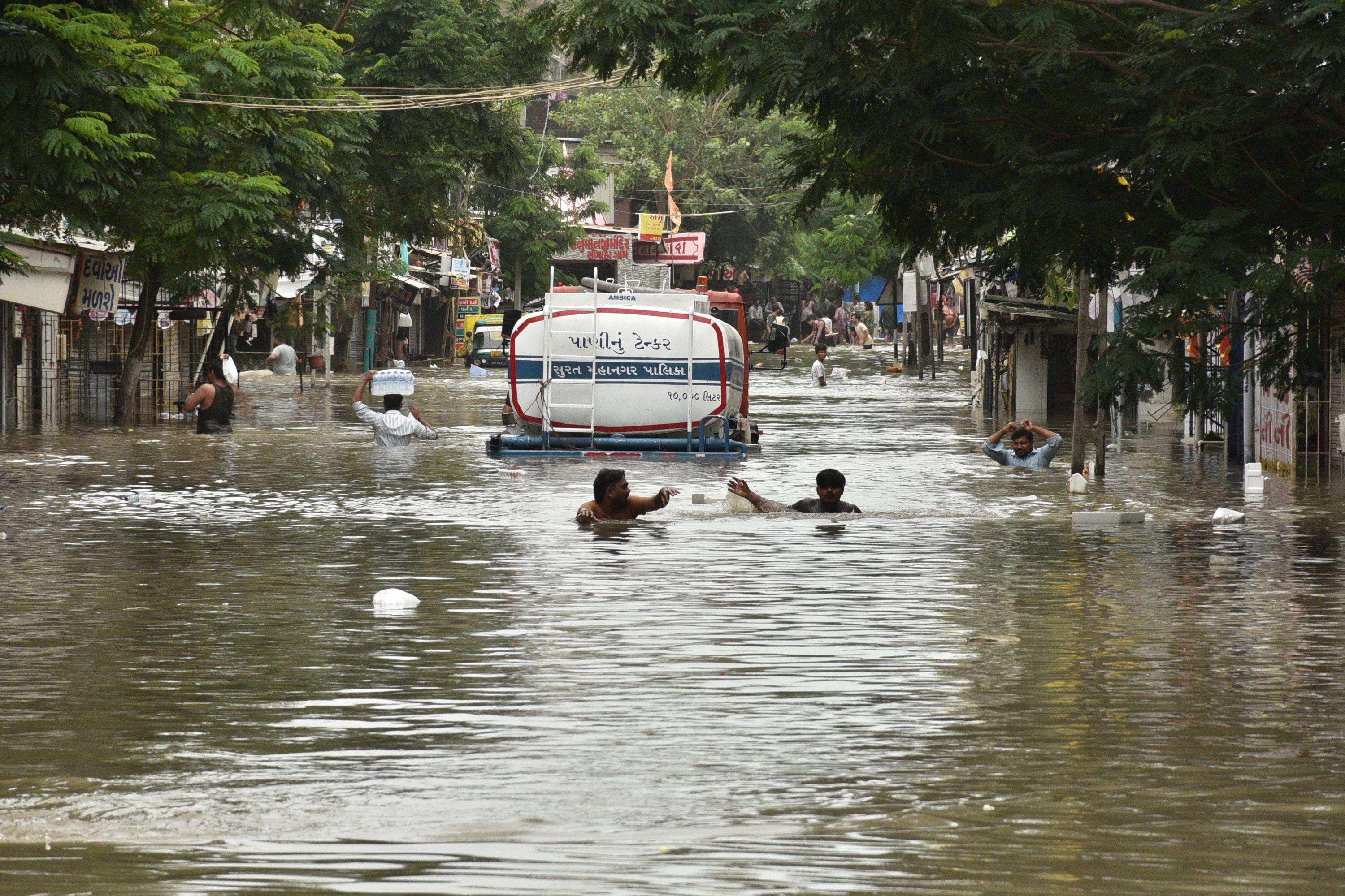
Overflowing creeks left parts of Surat inundated
A committee has also been formed by the state govt and SMC which will look into the causes that lead to flooding in the city every monsoon. Incidentally, Surat city suffered floods twice in the last 20 days, severely impacting lives and businesses. Overflowing creeks after the heavy downpours left many parts of the city inundated for days.The committee deliberated on ways to prevent flooding in creeks at a meeting held at the SMC headquarters on Monday. Officials reviewed an action plan for surveying and mapping the creeks and their catchment areas to support future flood-mitigation measures.During the meeting, municipal commissioner M Nagrajan directed project directors from major infrastructure development departments and key govt agencies to submit information on utility services and infrastructure passing through the catchment areas of the creeks within two days. Agencies, including National Highways Authority of India (NHAI), Dedicated Freight Corridor Corporation (DFCC), the irrigation department, Gujarat Energy Transmission Corporation Limited (GETCO) and other concerned bodies were asked to provide the infrastructure details.Collector Tejas Parmar instructed the district inspector of land records (DILR) to immediately form a separate survey team and provide details, including maps, to the surveying agency. He also directed the revenue department to submit information without delay to ensure the survey work is not held up.The surveying agency has been told to work in coordination with SMC to obtain necessary permissions from the Airports Authority of India, police department, Gujarat Maritime Board and other govt organisations to facilitate drone operations and field activities.During the meeting, the consultant was also instructed to compile information on govt lands and ponds located across Surat Urban Development Authority (SUDA) limits and Surat district areas. Officials noted that Gujarat Pollution Control Board (GPCB) and Urban Ring Development Corporation Limited (URDCL) have already submitted their data. The survey agency was directed to incorporate this information into the ongoing work.To streamline coordination and data integration, a team from the consultancy will be placed under the GIS cell of SMC. The consultant will be responsible for collecting inputs from all departments, prioritising pending data and consolidating them into a unified assessment.The committee asked the surveying agency to prepare and submit a preliminary report within the next five days based on the data received and the initial drone survey findings.


